Discussing a destination for Toni’s birthday week 2019, I recalled an image I had seen in a magazine. It was a river valley in the mountains with a railroad running through it. The caption labeled it as Harpers Ferry. The image appealed to me. I was aware of the historical significance of Harper’s Ferry — John Brown’s raid and all that in the runup to the Civil War. So I suggested it. We ended up choosing that as our destination for the trip. In looking for hotels, we discovered that there were, essentially for our purposes, no hotels actually IN Harpers Ferry, so we ended up at a motel in nearby Charles Town, founded by and named after Charles Washington — George’s brother.
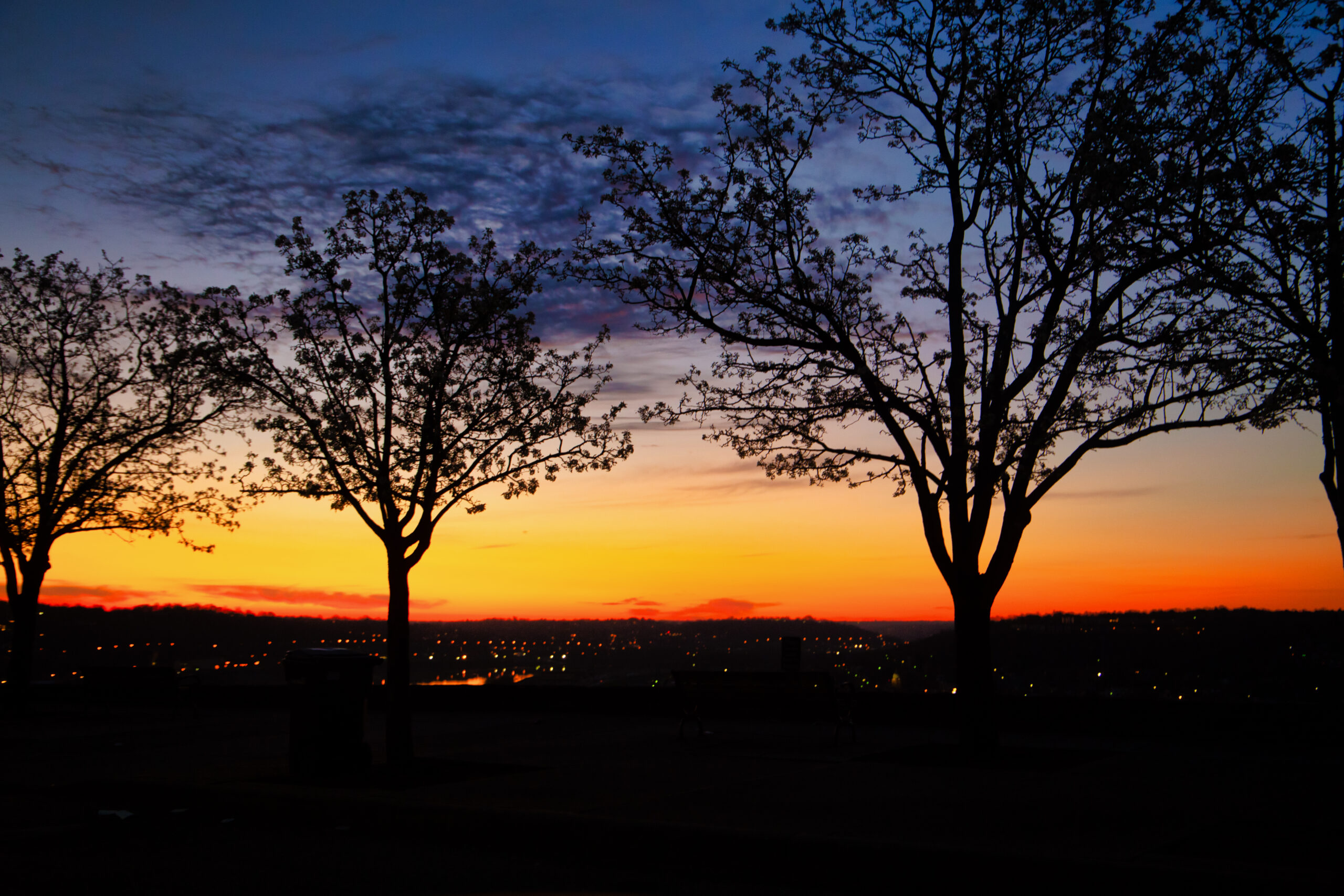
On researching routes, we realized that the drive out there would take us the best part of a day, so we set out early on the first day, getting packed up and on the road before dawn. One the way to the highway, we stopped in Cincinnati’s Eden Park and made some shots of the dawn. Setting Out at Dawn is one. The route I selected was Kentucky Route 9 — the Double-A Highway, running from just south of us in Northern Kentucky to Ashland, at the conjunction of Ohio, Kentucky, and West Virginia. We crossed into Huntington, where we picked up our route through the mountains. (I don’t recall the exact route we took.) 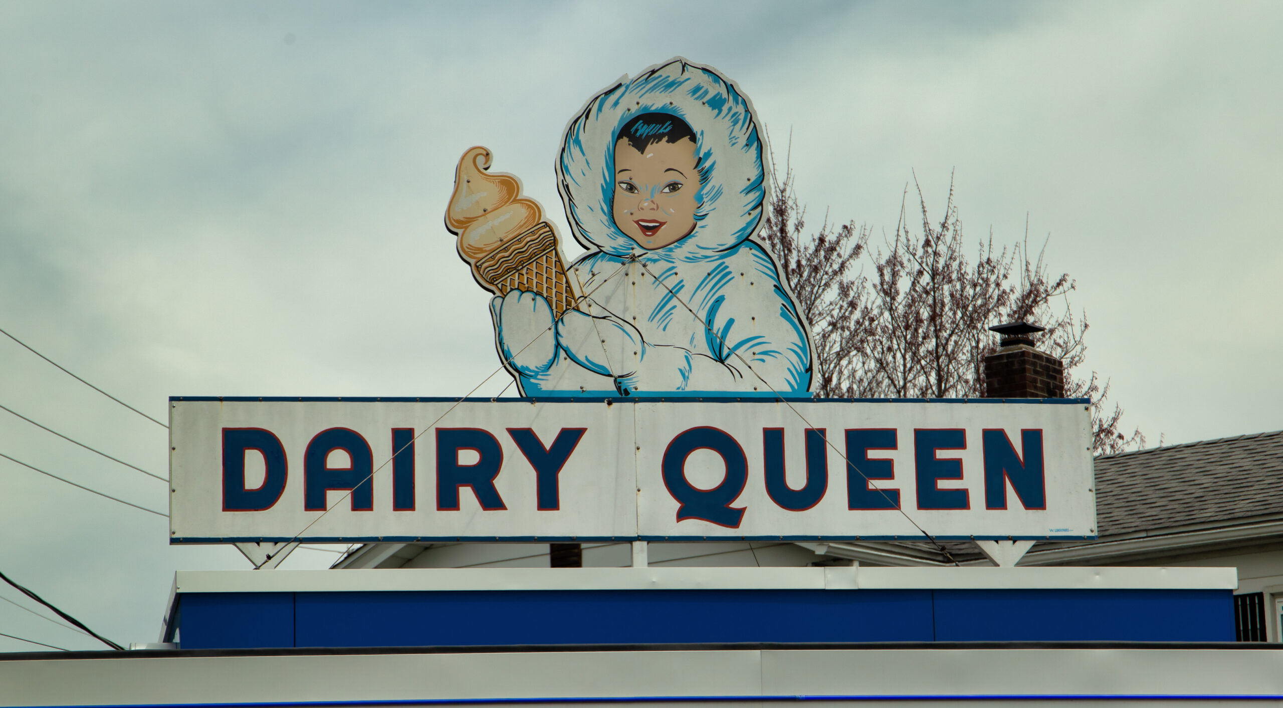 In passing, we spotted an old Dairy Queen (perhaps predating the DQ brand), with an Eskimo princess on the sign.
 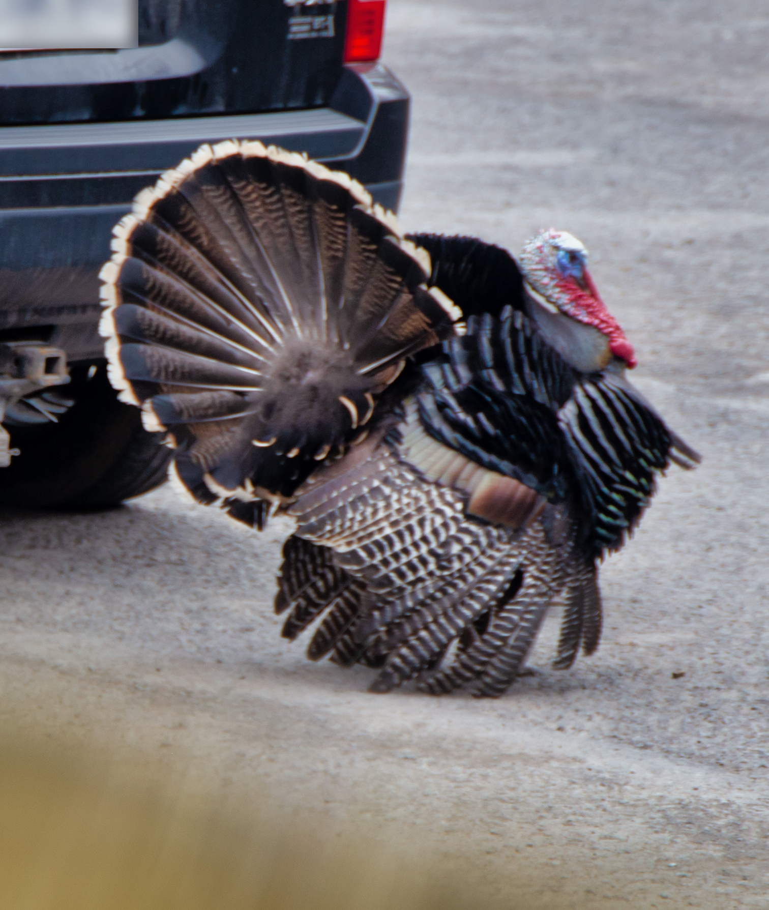 A bit farther on, at a gas station in the mountains, we met a tom turkey, strutting his stuff among the cars. At Backbone Mountain, we crossed the Eastern Continental Divide, passing out of the Ohio River watershed.
In passing, we spotted an old Dairy Queen (perhaps predating the DQ brand), with an Eskimo princess on the sign. A bit farther on, at a gas station in the mountains, we met a tom turkey, strutting his stuff among the cars. At Backbone Mountain, we crossed the Eastern Continental Divide, passing out of the Ohio River watershed.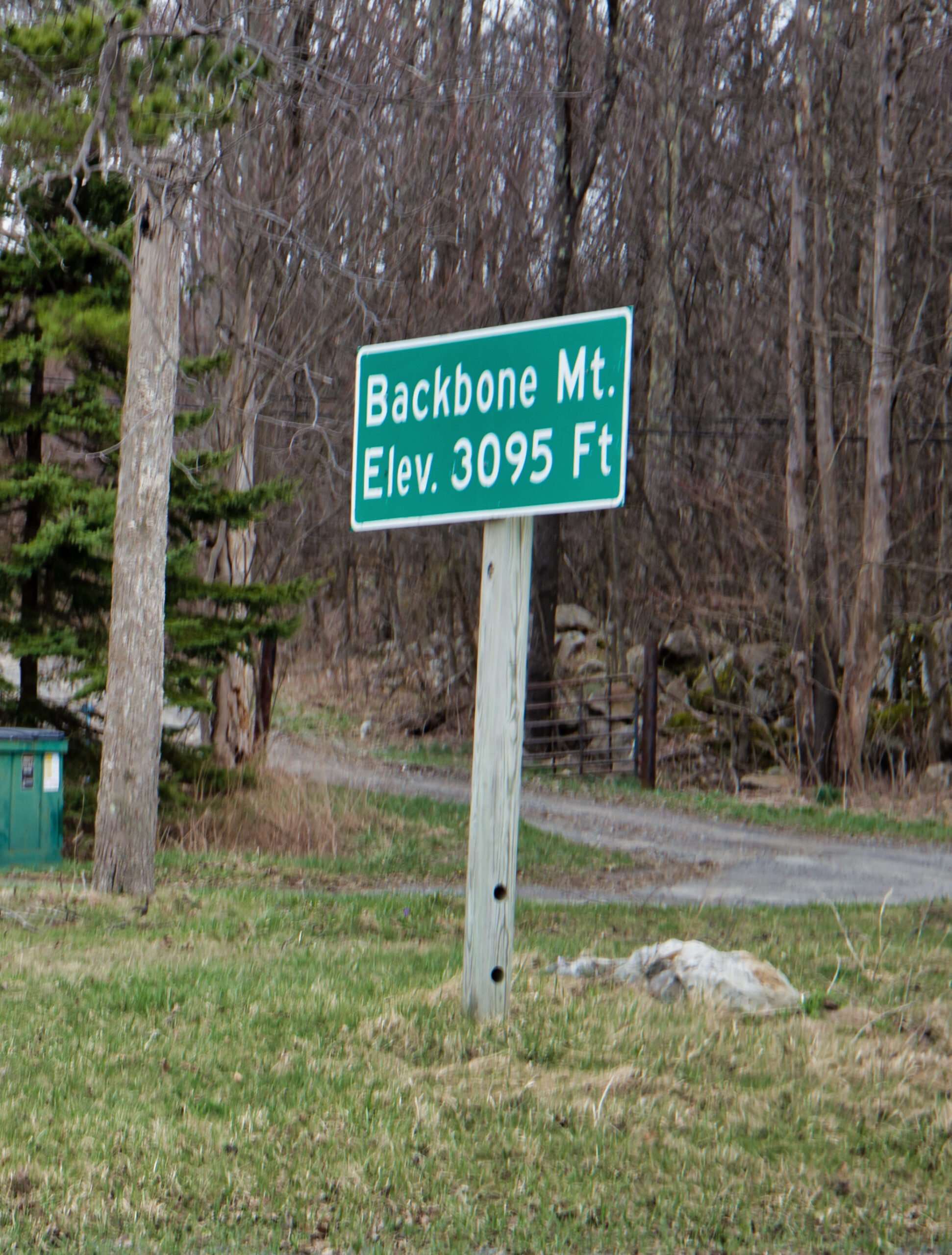
On arrival in Charles Town, we checked into our hotel and sought out dinner. Fortunately, there was a nice steak house right near by, as we were too pooped to go farther afield to find another place.
Next day, we drove into nearby Martinsburg for breakfast at a Bob Evans. I don’t recall whether we headed right to Harpers Ferry or wandered around Martinsburg first, but over the course of the weekend, we did both.
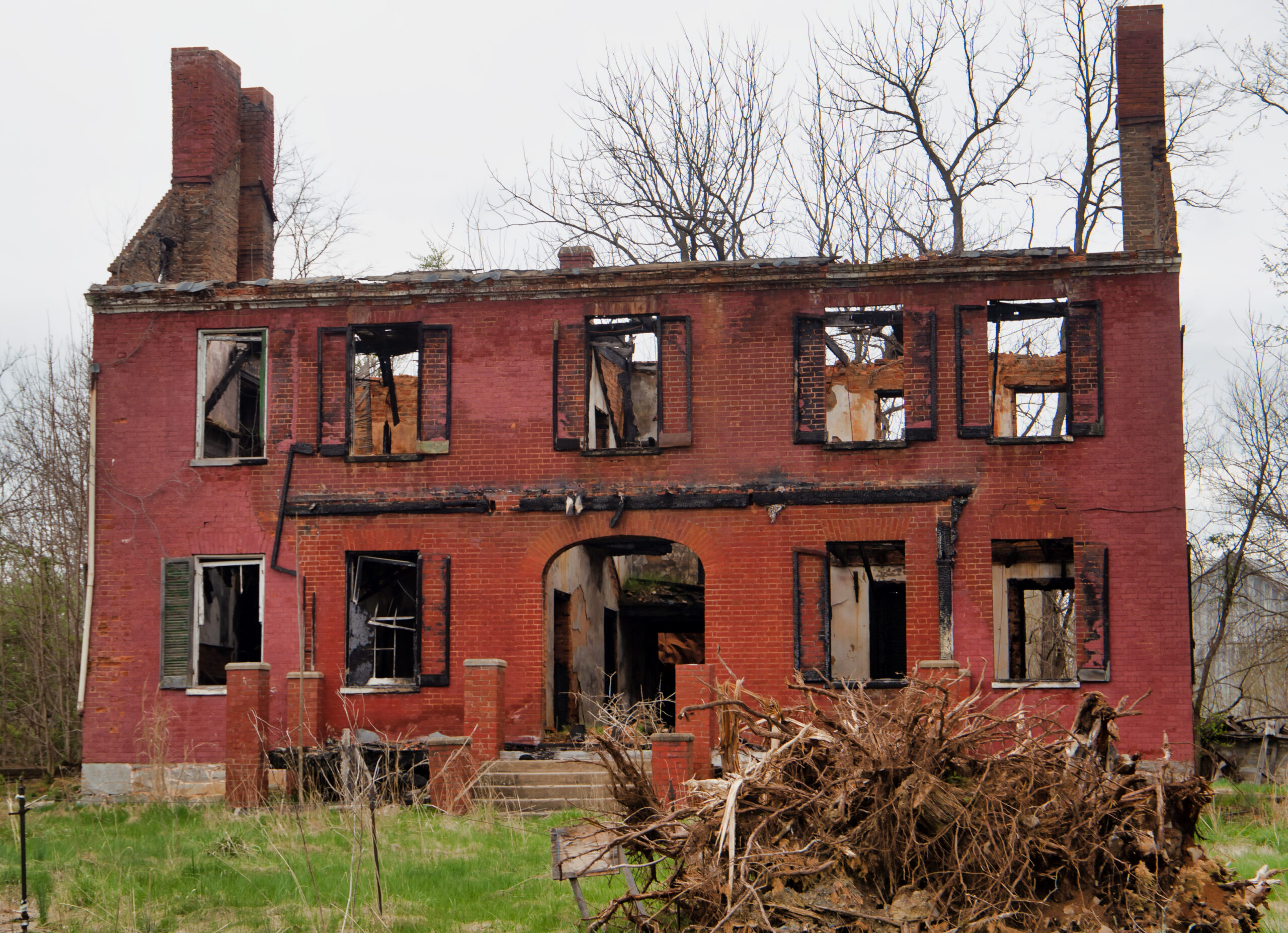 My impression of Martinsburg is that it was a center of brick production in the region. Everything in the town seemed like it was made of bricks. A large brick factory was sited on the outskirts of the present town. There was also a major presence of the B&O railroad, with a large switching yard and a huge roundhouse, which seemed to be being repurposed to tourism. I’m not a big railroad buff, but, having spent a good bit of time in yards during my cab driving days, I enjoy seeing the trappings of the rail transportation industry. My shots of the roundhouses and yards didn’t get in on my initial round of post-production, so they’ll have to wait for future revisitations to this road trip. (And they will come.)
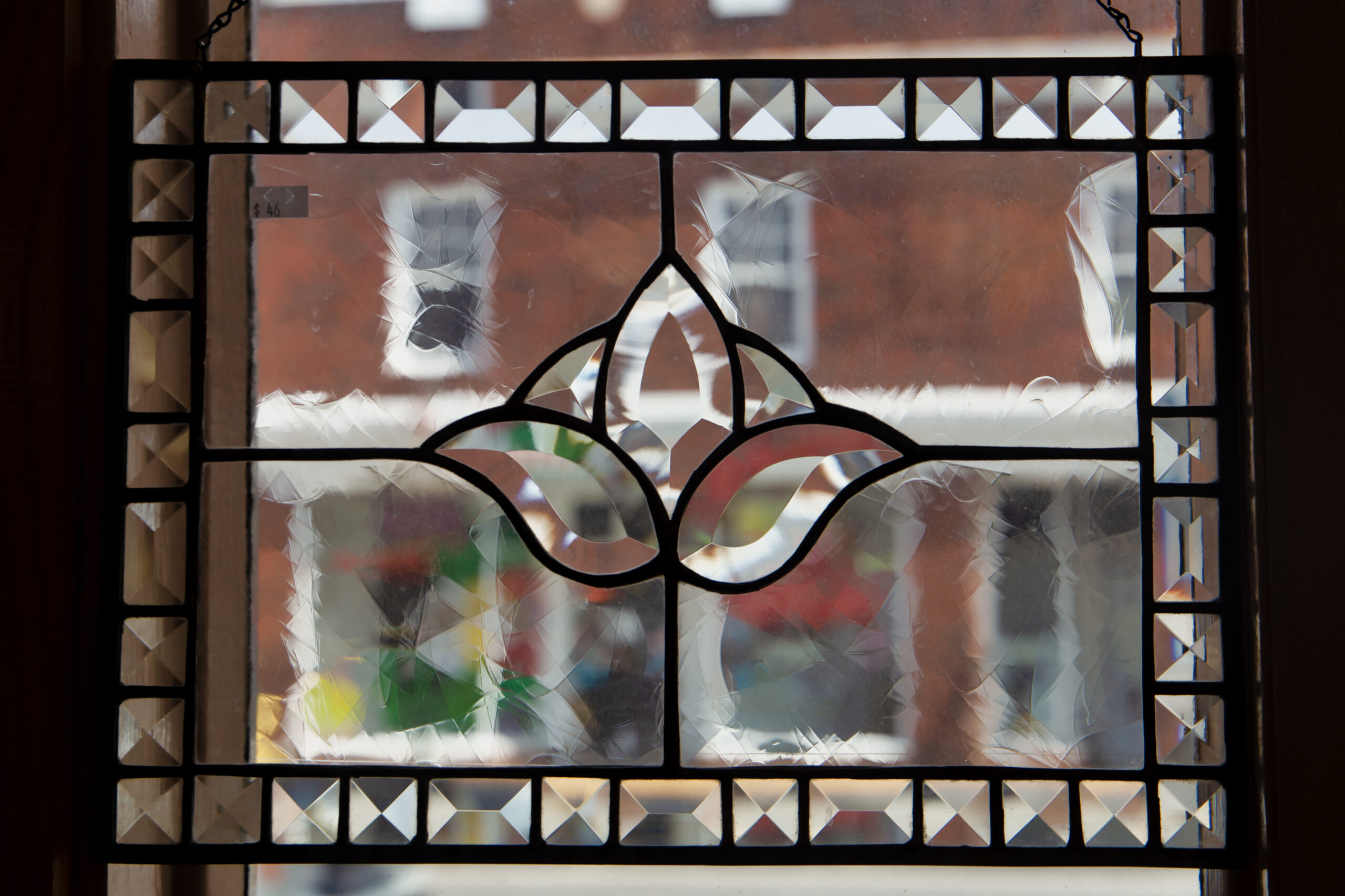
As I say, Martinsburg looks to be shifting its industrial focus toward tourism and there’s a substantial arts and crafts presence already there. One place we found and fell in love with was a glass shop on Queen Street.
As you’ll find in any town of substantial age, Martinsburg has a significant presence of former industrial sites. We were fortunate to stumble across one site. A large brick building with interesting details formed the core of an extensive enterprise, mostly abandoned and in some stage of decay. We ran into a realtor attempting to sell the place who told us a little about it. I was glad to see that an attempt was being made to rescue the place and save it for repurposing. We wandered around the neighborhood and shot tons of pictures, several of which are in next week’s batch.
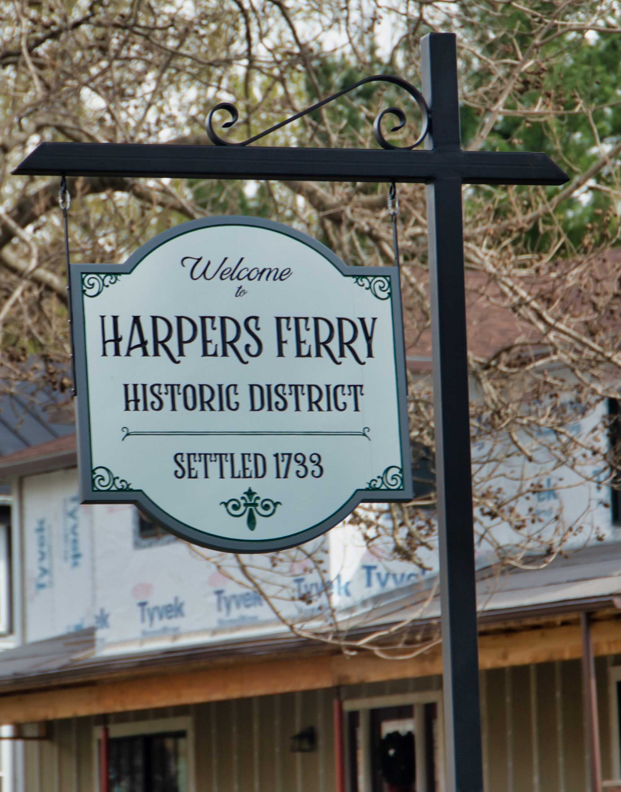 The town of Harpers Ferry stands at the confluence of the Potomac and Shenandoah Rivers. It’s mostly on Camp Hill, overlooking the valleys and on the rivers’ edge. It’s a small town (pop 269). If you read the Wikipedia article, there’s a lot of tasty goodness about the town. Check it out.
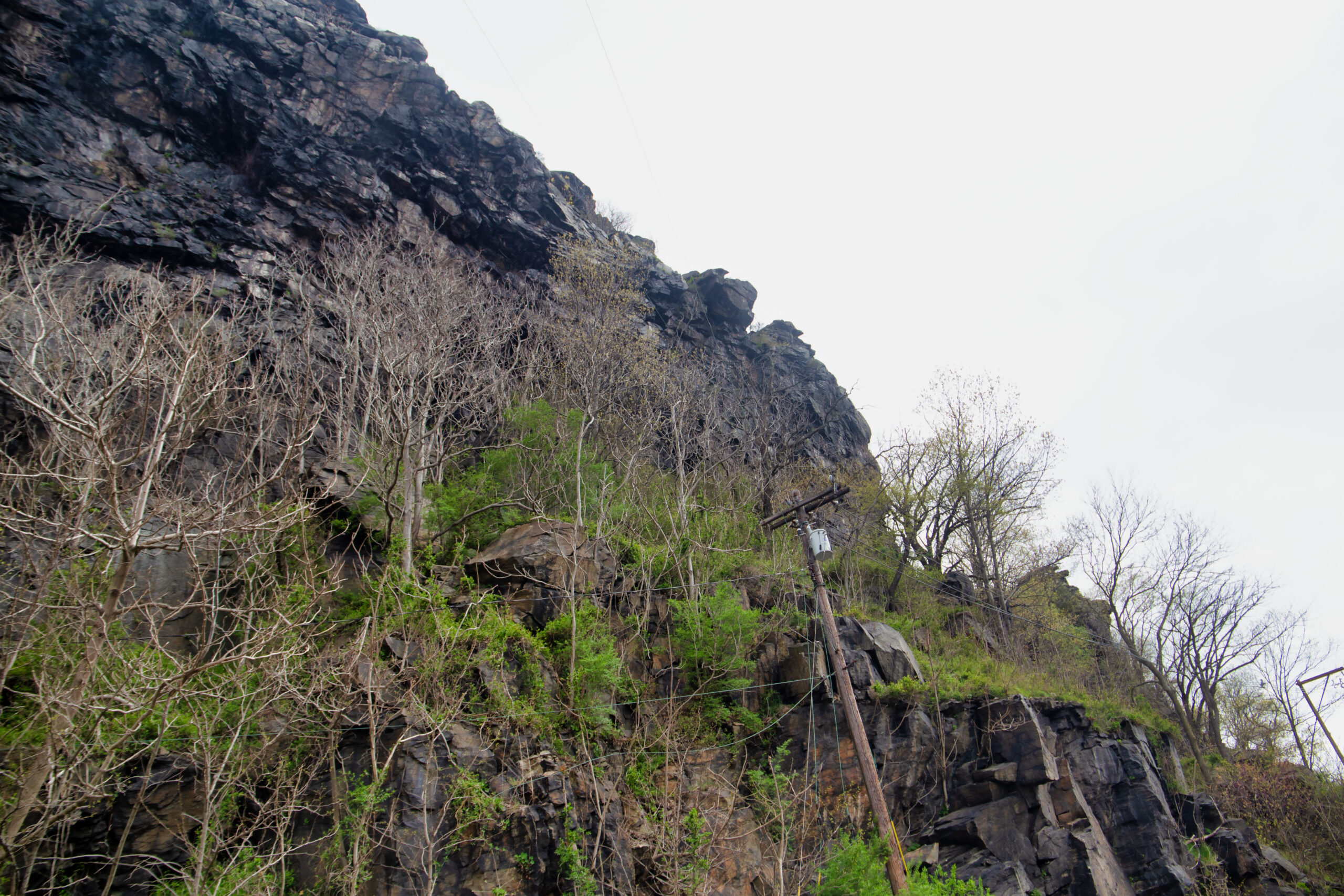 On the second day, we clambered up on the Maryland shore and the Maryland Heights and wandered around Knoxville and Antietam.
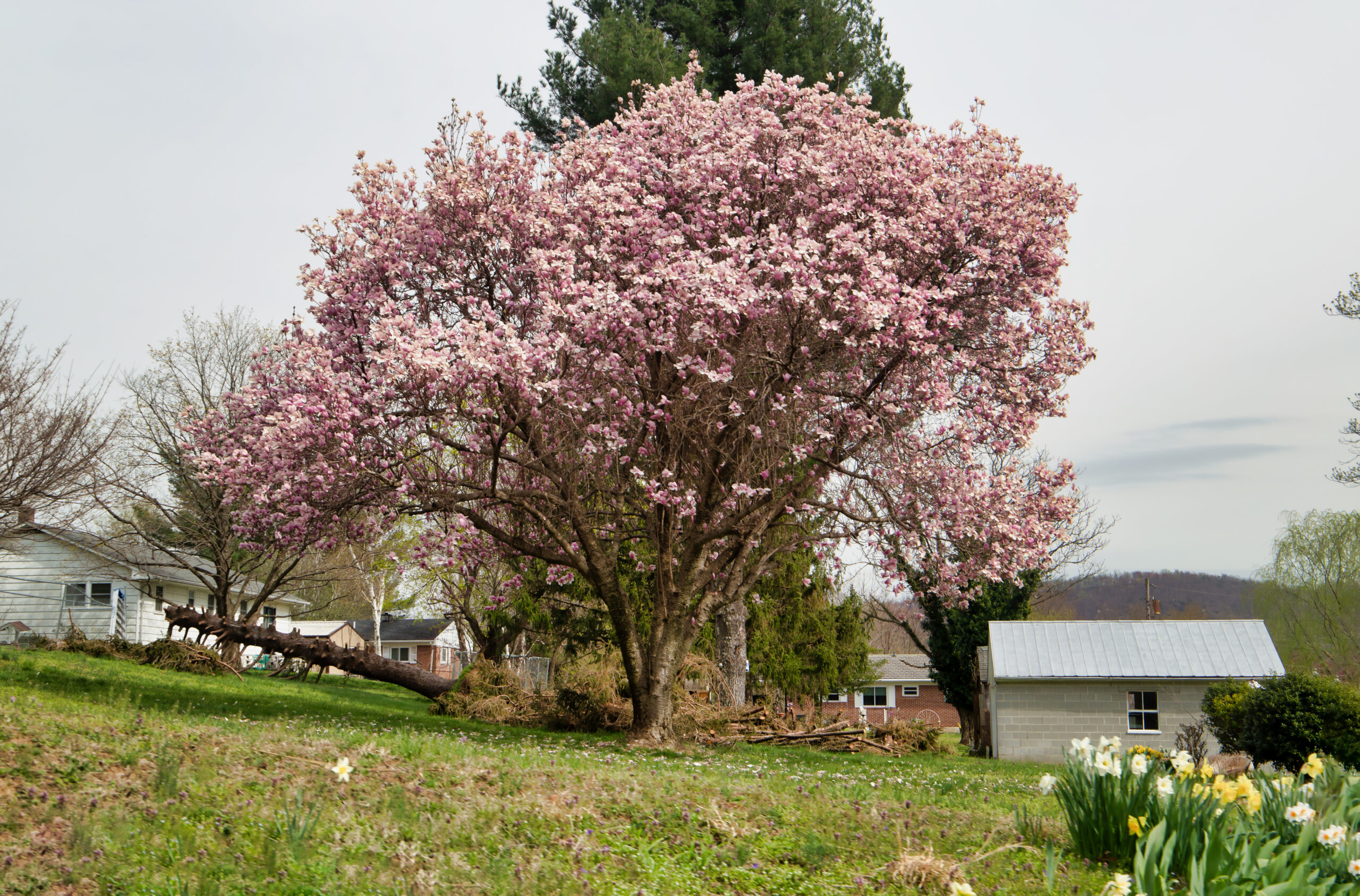
 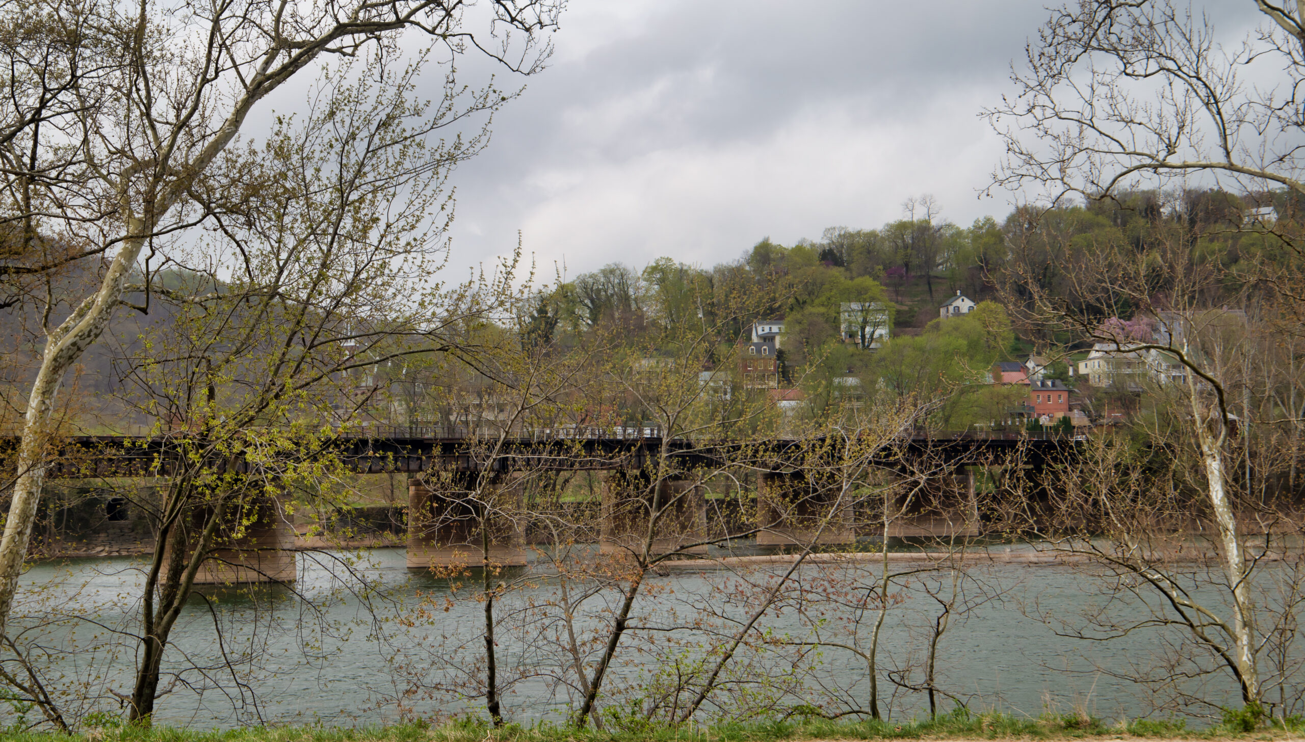 The landscape reminded me of places I’d been elsewhere in the Mid-Atlantic and the Northeast. Reminded me of my mother’s hometown in New Jersey, including my grandmother’s house with the dogwood trees along the property line.
  Third day, we were moving to Marietta on the Ohio side of the River. We tried to avoid Interstates, but there were places we couldn’t go on back roads. So we ended up going back over the divide at Sidling Gap.
 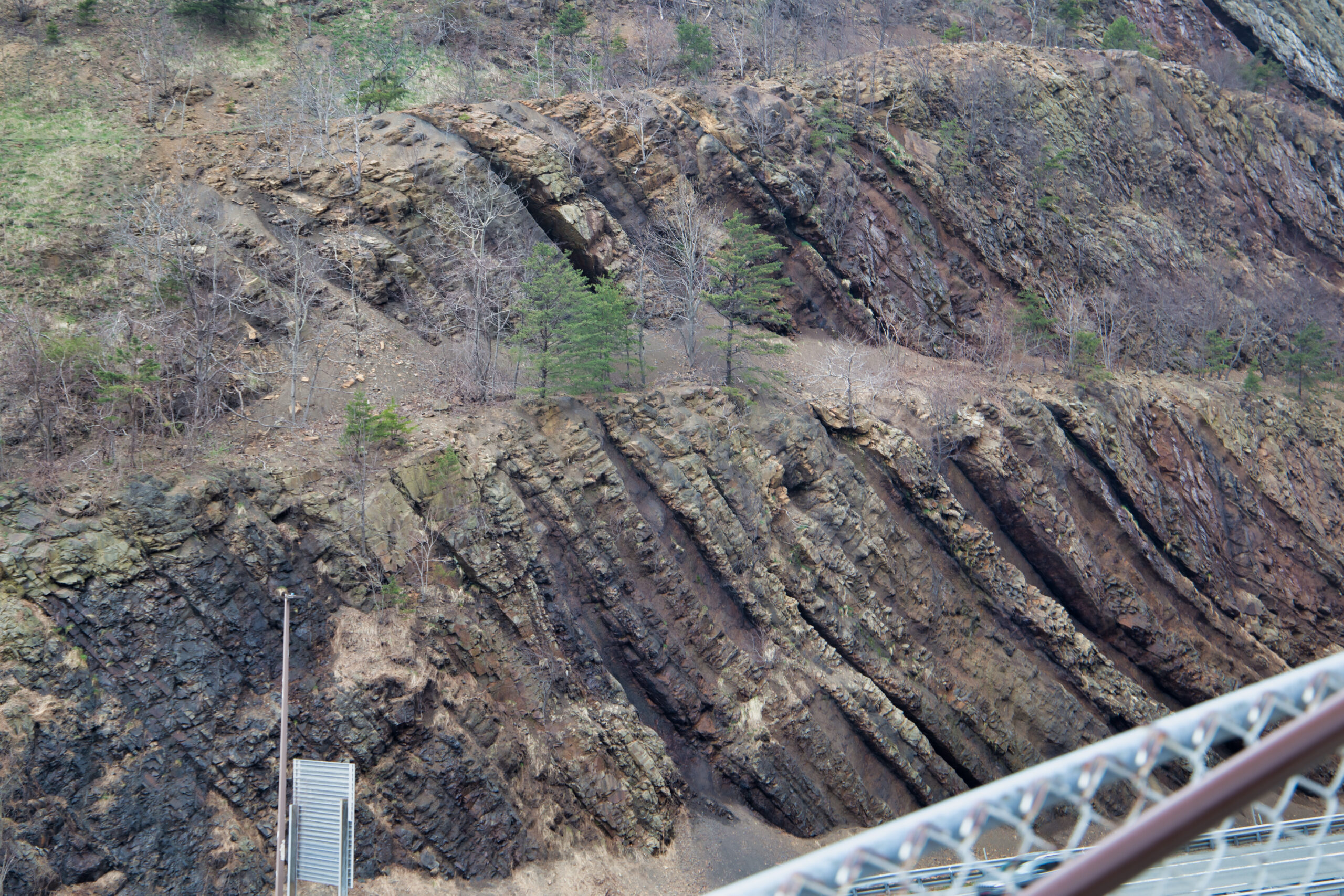 The historical markers informed that the place got its name from the fact that horses, being ridden over the pass tended to “sidle” nervously from the vertiginous drop and unsure footing. The folds of the strata proved very interesting. We parked at a rest area in the gap and I climbed as far as I could manage up the stairs beside the road and took a few shots of said folds.
Then, between Morgantown and Clarksburg, we ran into a torrential downpour — inches of water on the road and everything — which was scary for the torrents and poor visibility. A few hours later, we made it through Parkersburg and across the river, where we found our hotel in Marietta and crapped out for the night. Marietta comes later.
Next week, I intend to do a post about our photo safari through Martinsburg. Lots of tasty goodness, as I say.
I would be remiss if I did not mention that a selection of photos from this set is available as prints from my Art Storefront (link at top above). Your patronage is deeply appreciated.